Dilts River Corridor Easement
Forest Dale, Vermont
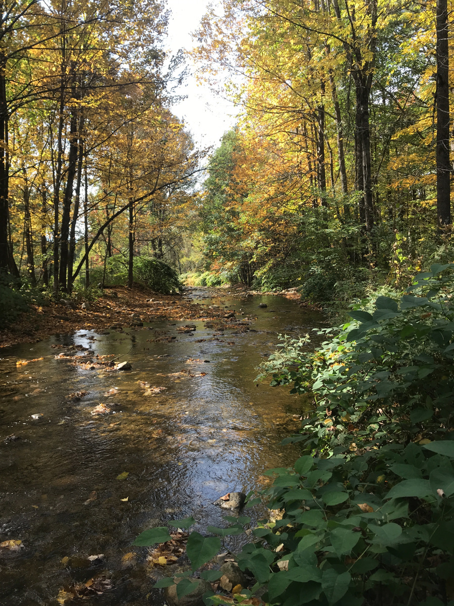
Neshobe River
- Public access: No
Dilts River Corridor Easement
When the Neshobe River flows from the forested slopes of the Green Mountains, headed towards Lake Champlain, this is one of the first places it passes. After Tropical Storm Irene, the value of this floodplain forest was clear. The land here flooded, absorbed debris and water into the forest floor, and slowed the Neshobe River, helping to keep downstream communities safe.
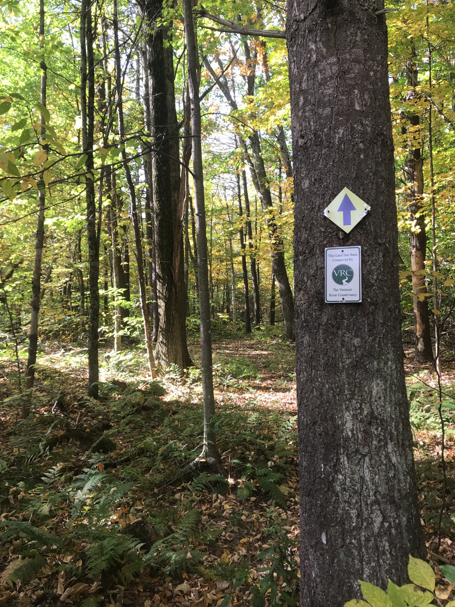
The landowners partnered with Vermont River Conservancy to put a River Corridor Easement along 900 feet of the river here. This means that when the Neshobe River floods — something that’s likely to happen more and more due to climate change — it will always be allowed to overflow onto surrounding land. By allowing the land to flood, the river slows its course, which keeps communities safe by reducing flood risk downstream. It also increases groundwater storage (decreasing the effects of drought) and provides fantastic habitat for fish, birds, and wildlife.
Conservation Details
- River: Neshobe River
- Acreage: 6.00
- River frontage (ft): 900
Funding Partners
This project made possible thanks to the support and partnership of:
- VT Agency of Natural Resources Ecosystem Restoration Grant Program