Big Falls of the Missisquoi River Access
North Troy, Vermont
Missisquoi River
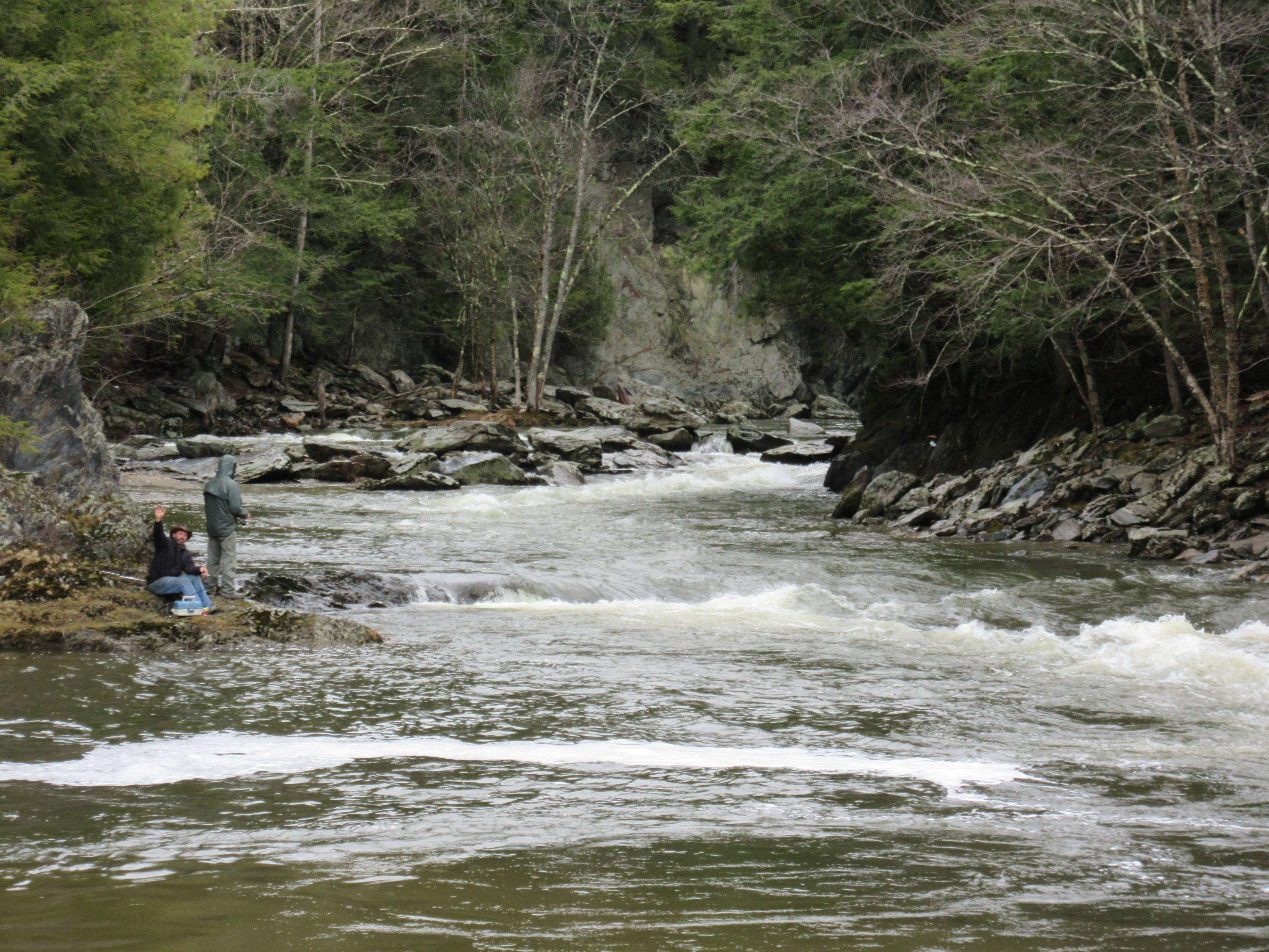
Access to Big Falls is extremely dangerous from the Vermont state lands at the falls. Use this access point to safer access to pools below falls.
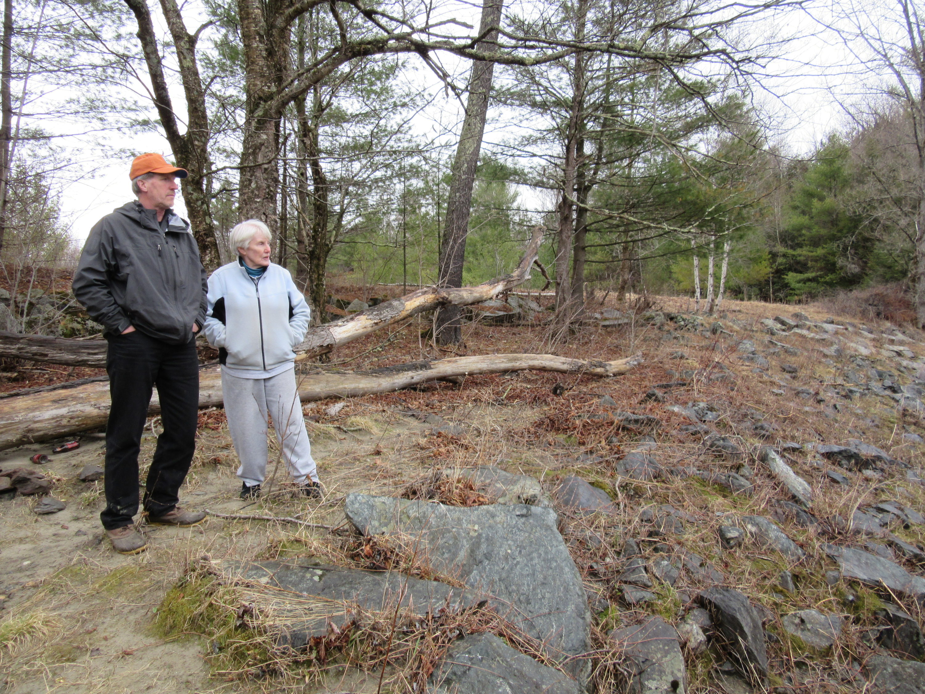
There is poison ivy here between the cleared area with benches and the river. Please use caution.
- Public access: Yes
- Activities: swimming, fishing, photography
- Caretaker: Vermont River Conservancy
Big Falls of the Missisquoi River Access
At just under 3-acres, this parcel is small but mighty. “Big Falls of the Missisquoi” is the highest undammed waterfall Vermont, and is on a stunning stretch of the federally designated Wild & Scenic Missisquoi River. The lands immediately surrounding the upper reaches of Big Falls have been owned by the State of Vermont since the mid-1990’s. But due to steep cliffs, swimming and angling access from the state lands is extremely dangerous.
Fortunately, thanks to the foresight of Anne and Bruce McKay, visitors can now enjoy the large pool at the base of Big Falls. The McKays donated this 2.8-acre parcel to Vermont River Conservancy, protecting access to swim and fish below Big Falls.
Explore the Spanish-language video featuring this site here.
Local Businesses
Stop by The Toasted Bun (formerly Paddie’s Snack Bar) in North Troy for classic treats like poutine, fried cheese curds, and extra thick milkshakes.
Conservation Details
- River: Missisquoi River
- Acreage: 2.80
- River frontage (ft): 564
Funding Partners
This project made possible thanks to the support and partnership of:
Directions
Take 100 North to 101 N, to North Troy. Follow East Main Street out of town, and take a slight right onto River Road. Or, from Newport VT, take 105 West, and a sharp left onto River Road.
After turning onto River Road, the property is 1.2 miles south on your right. There’s a closed gate across the dirt path to the river access. There’s room for 3-4 cars to park near (but not blocking) the gate. Walk around the gate and follow the dirt road several hundred feet past a closed utility house, after which the road becomes a two-track through a meadow, ending at the river access.