Roberts River Corridor Easement
Athens, Vermont
Saxtons River
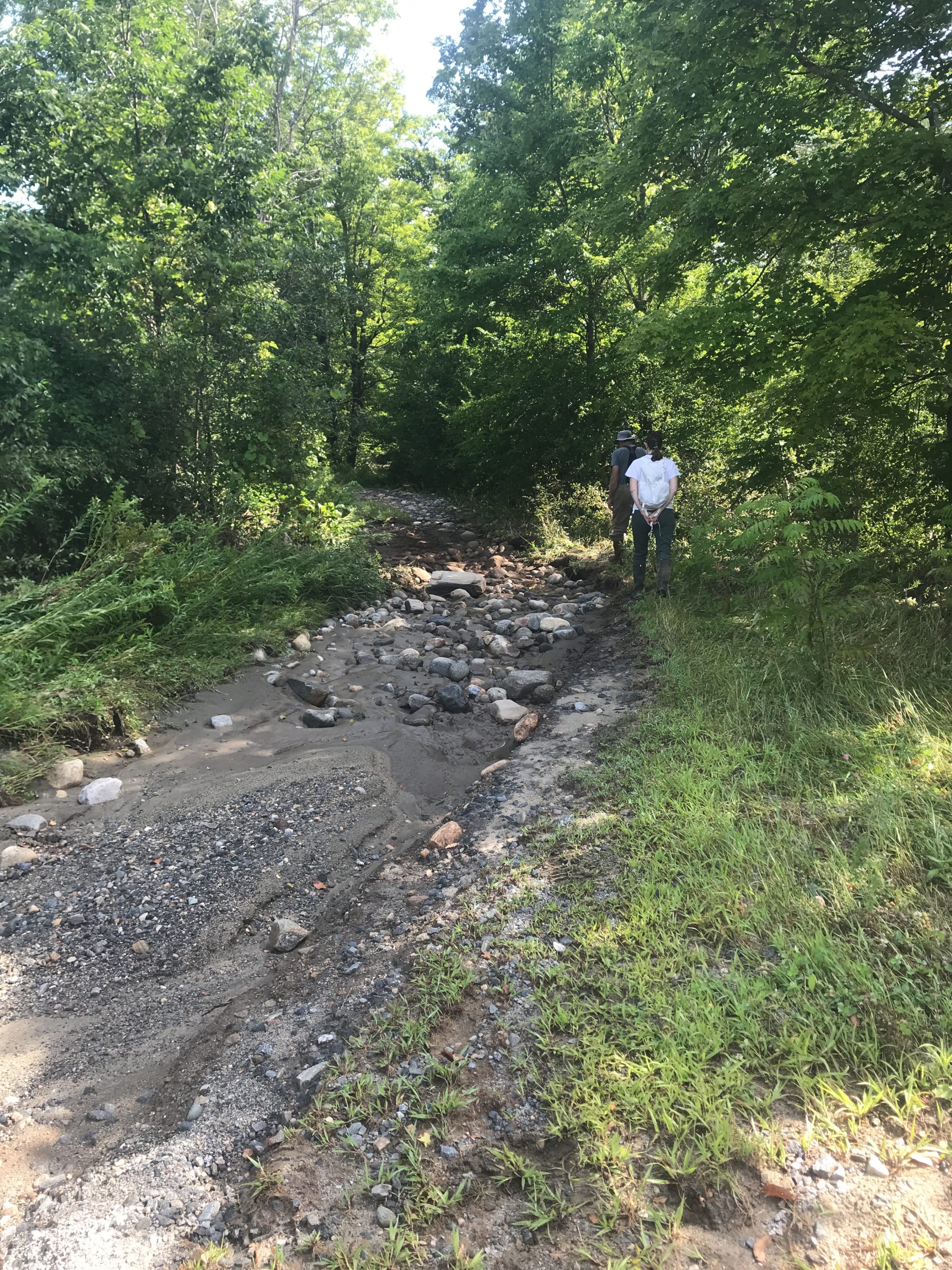
- Public access: No
Roberts River Corridor Easement
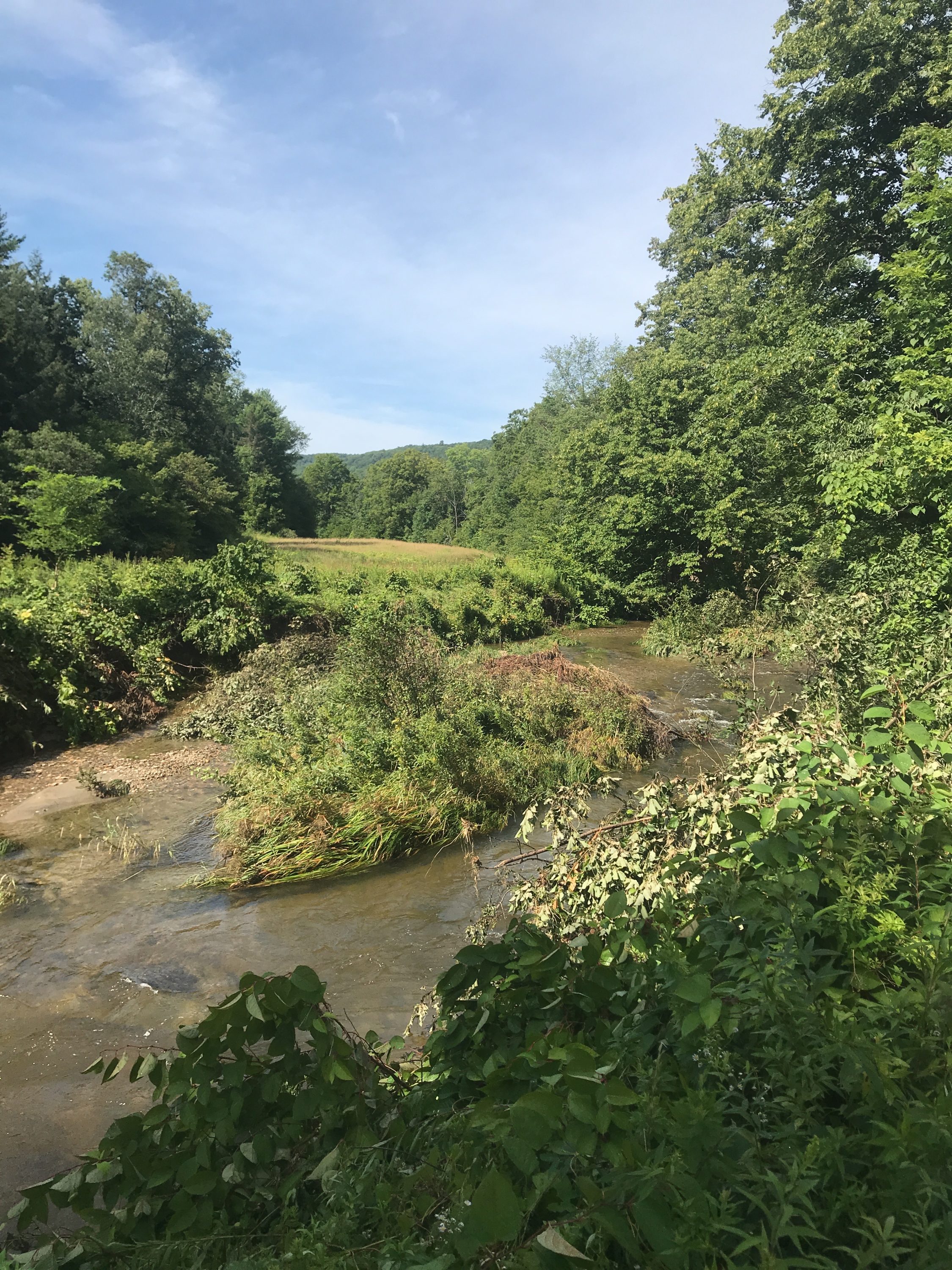
Three rivers come together here: Saxtons River, Bull Creek, and Weaver Creek. Plus, it’s just upstream from Saxtons Village, where there are more roads, homes, and businesses close to the river. That’s why, when state and local partners created a river corridor plan for Saxtons River — a strategy to keep roads, bridges, homes, and businesses safe from flooding — protecting this land was a top priority.
Vermont River Conservancy’s easement makes sure the land will never be developed, lets trees and shrubs grow-up along the river’s edge, and makes sure the river will be able to move, bend, and flow across the land over time. This helps slow water, lets the river drop rocks and trees it might be carrying during floods, and ultimately helps keep people safer in downstream communities.
Conservation Details
- River: Saxtons River
- Acreage: 52.30
- River frontage (ft): 9,200
Funding Partners
This project made possible thanks to the support and partnership of:
- Vermont Agency of Natural Resources Ecosystem Restoration Grant