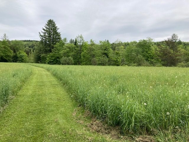
Haines River Corridor Easement
Worcester, Vermont
North Branch of the Winooski
- Public access: No
Haines River Corridor Easement
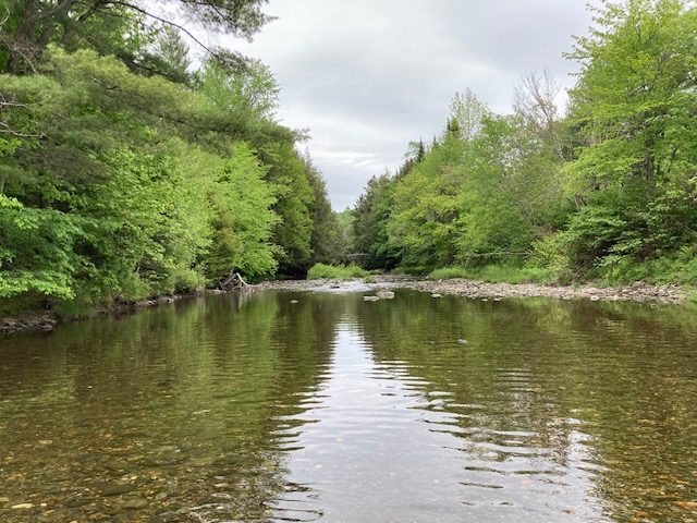
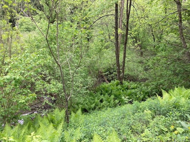
The North Branch of the Winooski River flows off the steep slopes of the Worcester Range and Woodbury Range, then becomes more gradual just upstream of Worcester. The river begins to meander through farmland, carving sweeping, braided channels across the valley. Each bend helps slow water during floods, which filters out sediment and debris, creating healthier fish habitat and cleaner drinking water for downstream communities. Unfortunately, in many areas of Vermont these valley-bottom rivers have been straightened-out by roads, dams, and development.
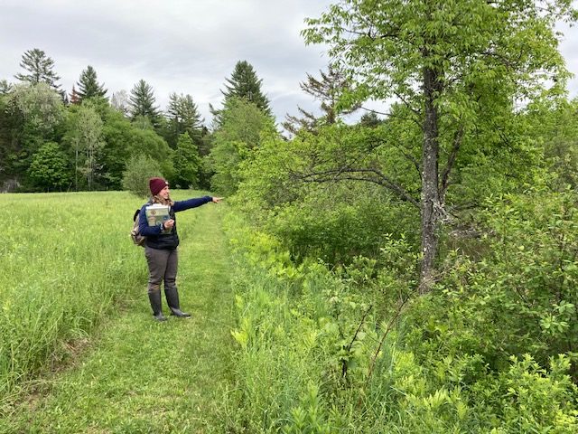
Thankfully, near Worcester multiple landowners have all worked with Vermont River Conservancy to protect the North Branch, making sure the river will always run its naturally meandering course. The Haines property is the first of several river corridor easements that, together, provide important wildlife habitat and floodplain protections above and below the village of Worcester.
Conservation Details
- River: North Branch of the Winooski
- Acreage: 5.20
- River frontage (ft): 1,210
Funding Partners
This project made possible thanks to the support and partnership of:
- Vermont Agency of Natural Resources